


Creation Date: 24/07/05 (not confirmed)
Crop: Wheat
Map Ref: SU652967
Reported by: Geoff Ambler/Ellis Taylor/Andrew Kingston
Image(s): Andrew King,Sabine Sickel, Ally Richards, Geoff Ambler(Click to
enlarge images)
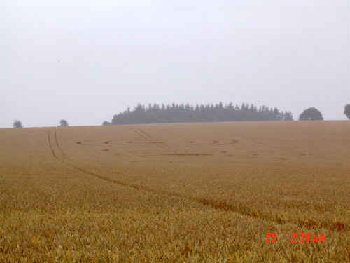
Aerial
|
|
|
|
|
||
|
|
|
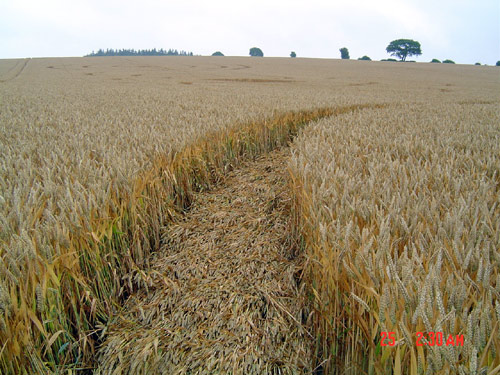
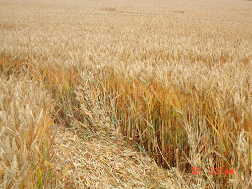
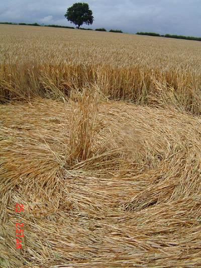
Ground
 |
 |
 |
 |
 |
 |
 |
 |
 |
 |
 |
 |
 |
 |
 |
 |
 |
 |
 |
Dimensions/Swirl: (Formation to be properly surveyed)
Description and Information (by Ellis Taylor)
I've just been alerted to a new formation close to the last one
at Cuttmill. SU652967. Well done to Geoff ambler and Andy Kingston, who drives
all the way up here from Kent to fly over and take photos of the crop circles
in this area. How about some others sharing the load? FlyCB at Kidlington charge
about £95 per hour. I've already done 3 flights. Anyone else committed enough
in this area? Alternatively, wouldn't it be worth considering setting up a pool
for regular or eemergency flights. How many are we missing? Ellis
Link to this formation on the connector
http://www.cropcircleconnector.com/2005/watlington/Watlington2005a.html
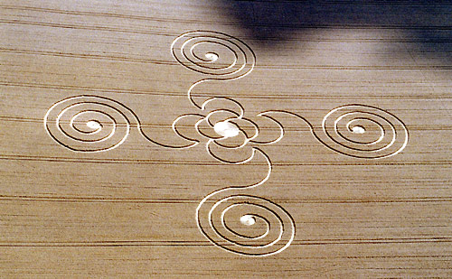
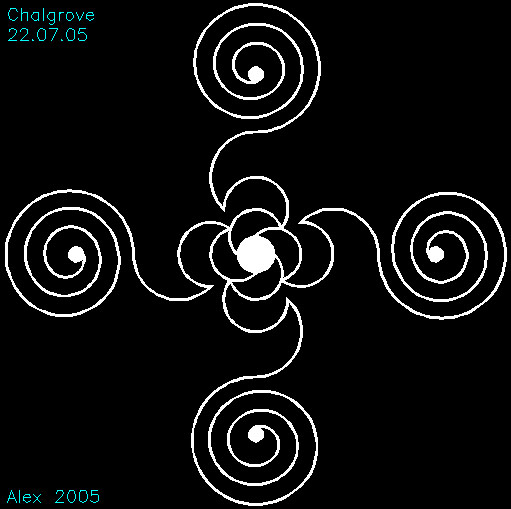
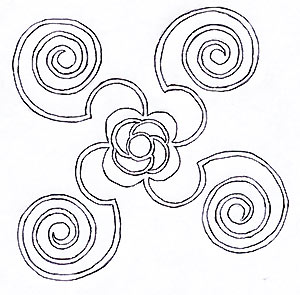
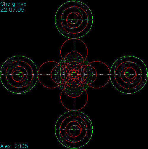
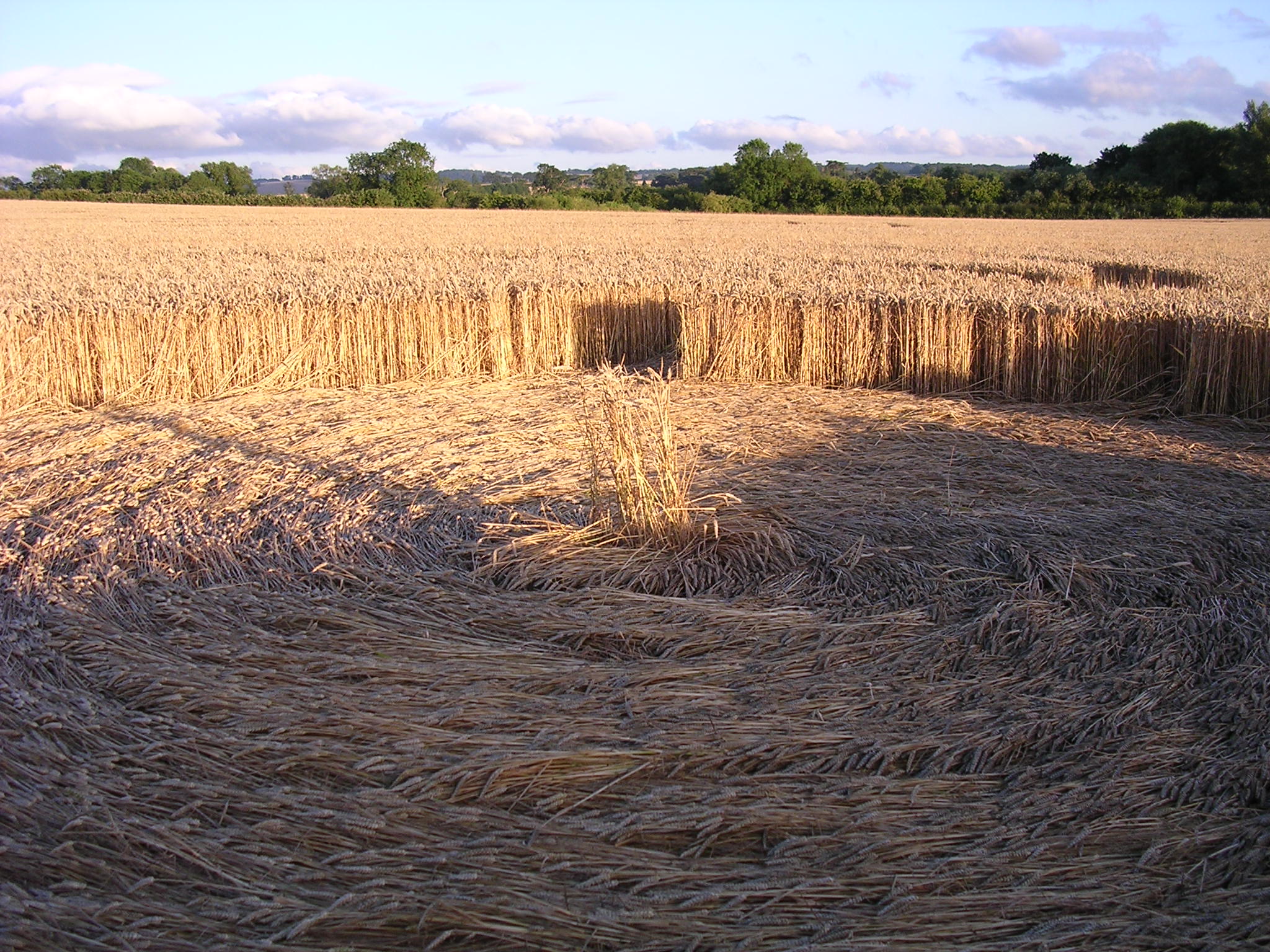
I've been hoping to report a crop circle in Oxfordshire, but the website will not 'submit' the form. I hope it is Ok to send you the report and two pictures by email instead.Location: Watlington Road, near Chalgrove Map Reference: x=465500, y=196500 Crop: Wheat Description: A very interesting set of four spirals forming a cross. Date: 22/07 Regrettably, the pictures do not do justice to the circle's size, as only two of the four arms are actually discernable. Nonetheless, I hope they convey the just of what it must look like from the air, and remain, Sabine Sackel
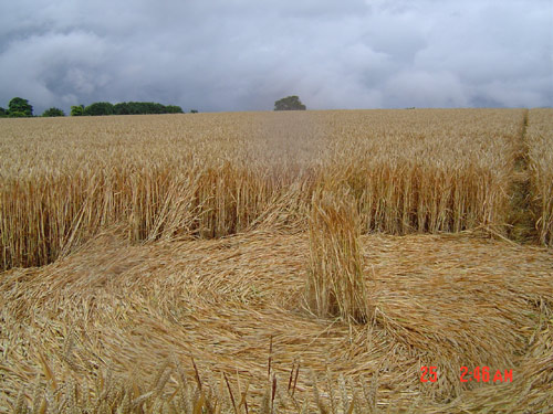
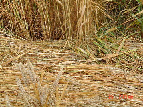
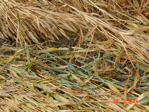
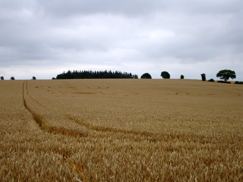
Formation is a gem of geometrical precision. Each spiral centre is a 22 ft diam circle with bunched wheat at midpoint. There are thousands of feet of 4ft spiralling pathways leading to the central circle which is 31 ft diam. Estimated total length down the axis is 480ft. Has similar ground appearance to the very large Garsington formation of July 14th being situated on a gentle slope running down to the B480 road. Formation is in field at point where a disused road meanders back to Chalgrove Field memorial off the B480.
Geoff Ambler