


Creation Date: Circa 15/08/04
Map Ref: SP 579013
Crop: Wheat
Reported by: Crop Circle Connector (Daniel)
Image(s): By Ellis Taylor and Geoff Ambler (click to enlarge)
|
|
|
|
|
|
|
|
|
|
|
|
 |
 |
 |
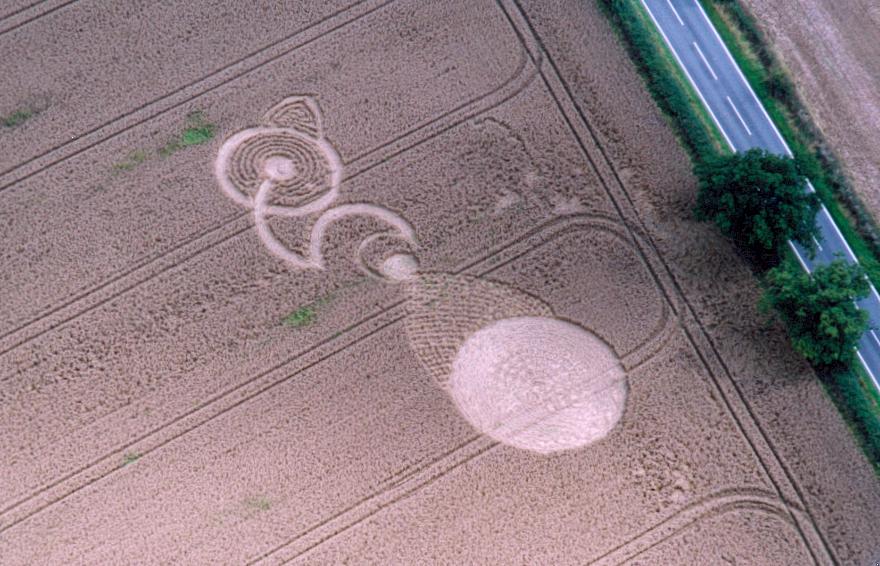
Dimensions/Swirl: (Formation to be properly surveyed)
180ft length along an E to W axis
Description and Information:
There is a good report from Ellis Taylor on his site here : http://www.ellisctaylor.com/garsingtoncropformation.html
1st reported August 15th.
Situated close to the B480 Oxford to Stadhampton road. Not visible from the road. Partyl visible from Garsington churchyard.
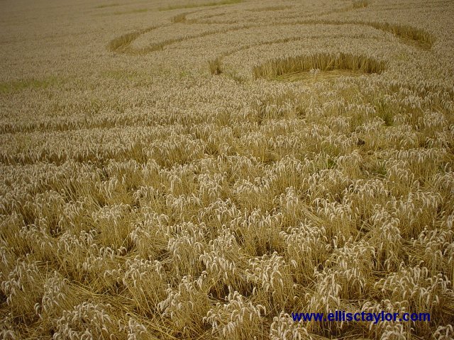
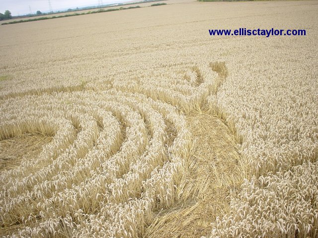
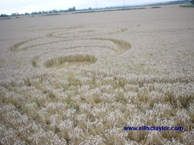
1 large 63ft circle clockwise flow. Inner 30ft circle criss-cross woven/cross-hatched in a 30ft diameter. Inner 30ft is another circle in itself. There is a complex system if 1 ft wide criss-cross passageways (25 roughly in total) leading off from EAST side of circle leading to circle with centre of raised wheat. This tapers into smaller 10ft diameter circle which is heavily flattenned with piled crop in the centre.
Can't tell overall design, aerial photo essential. Estimate whole design is 200ft long running E. to W. paraellel to main road. field had formation in 2002.
It is about half a mile from simple circle reported in July.