Creation Date: Mid July
Map Ref: SP 284305
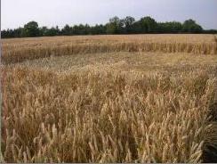
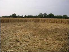
Crop: Wheat
Reported by: Crop Circle Connector (Andrew Bogle)
Image(s):
|
|
|
|
Dimensions/Swirl: (Formation to be properly surveyed)
Description and Information:
This formation is now confirmed on the ground.
1 mile west of rollright stones
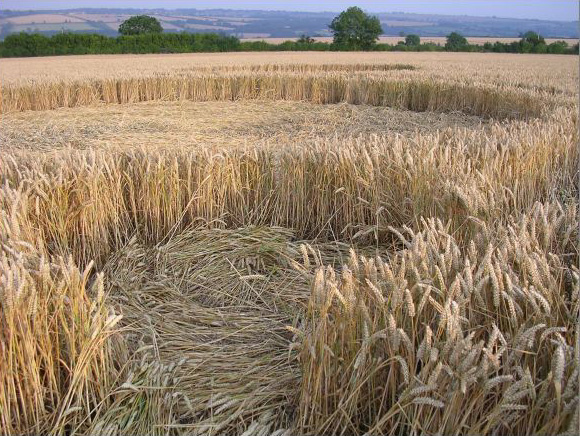
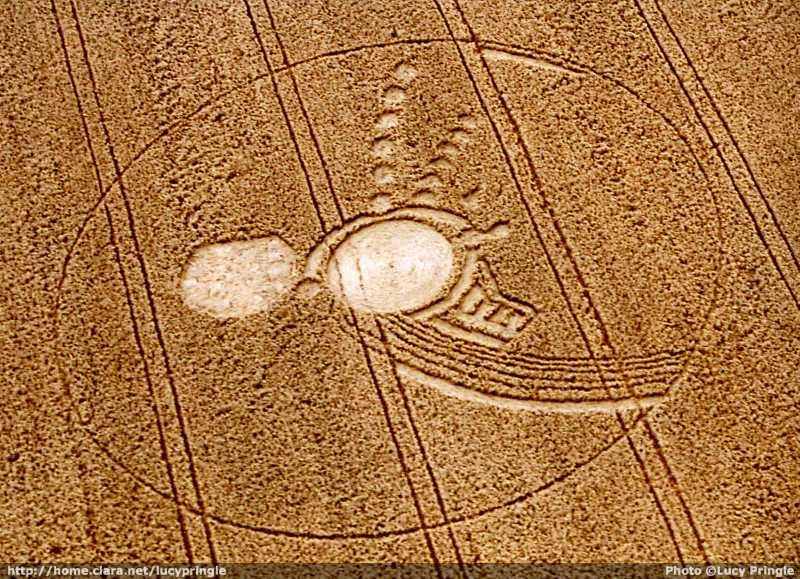
Complex arrangement of two 40ft circles; one is CW swirl with single standing stem in the centre; the second has no swirl pattern and may be irregular.
Surrounding are lines of grapeshot circles, half rings, arcs and ladders - probably 30-40 additional features. The whole is surrounded by a thin ring 100ft radius. The overal shape is impossible to see on the ground so aerial shot essential.
Formation is in field at West of a fork in the road to Little Compton. North of the road passing the Rollright stone circle. It cannot be seen at all except for a long view from the road to Over Norton on the other side of the valley (in line with the micro tower).
1st known formation by rollright stones for 10 years.