Creation Date: 22nd August
Map Ref: SP 576014
Crop: Wheat
Reported by: Daniel, Crop circle research 22nd August
Image(s): By Ellis Taylor
|
|
Dimensions/Swirl: (Formation to be properly surveyed)
Description and Information:
There is a good report from Ellis Taylor on his site here : http://www.ellisctaylor.com/garsingtoncropformation2.html
Formation is in first field between B480 and turn to Toot Baldon east side.
This field has seen several formations in past years.
The 1st and 3rd fields up the road have had activity 2004; 2nd field was visited in 2003.
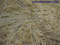
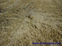
We now have had 3 formations inside 4 weeks which appear to be aligned on the map over half a mile. Unfortunately unable to photograph as it was harvested on Sunday the 22nd August within hours of it being reported. (This was confirmed by the farmer).
A partial survey of the harvested site indicates a long formation of 200 by 78ft with many pathways, very similar to Aug 15th formation. The axis is N to S pinting towards Garsington church.
2 small 12ft diameter circles each side of main axis show the crop heavily flattenend radially towards their centres. As seen in the nearby formation indicating that both came from the same origin.