Creation Date: Est. Early June
Map Ref: SU 582 015
Crop:Barley
Reported by: James Bellinger
Image(s): (Click to enlarge)
|
|
|
Dimensions/Swirl:
To follow
Description and Information: See Below
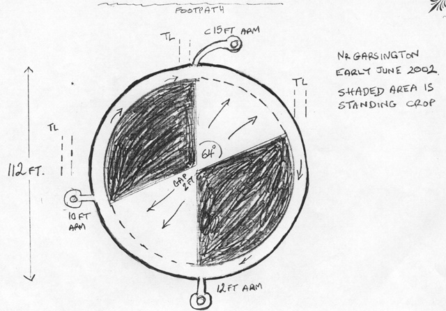
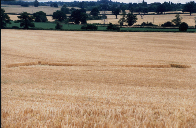
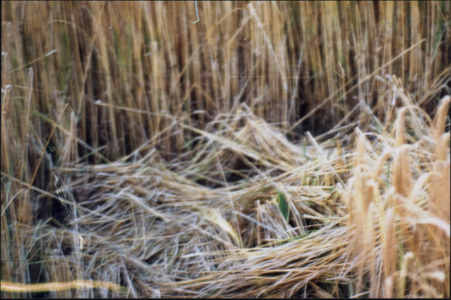
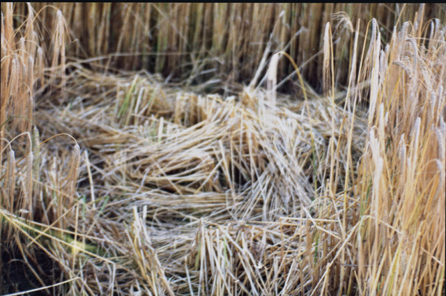
Found just below the E-W path leading from Garsington fields to Southend, this was a large circle, 112ft diameter consiting of a ring of 7ft width surrounding an inner section split into "quadrants". About 2/3 rds of the area remained upright while the remaining 1/3 was flattened. The flattened area had linear flows leading out to the ring which was clockwise flow. On the edges, samll additional features were seen with short paths leading inot 6ft circles with nested centres - a feature seen several times before. There are three of these at 90 degrees separation. Unfortunately, by the time the formation was examined, the flattened crop had been eaten away by the birds and much sharpness was lost. Sample tests indicated the circle making force was present.