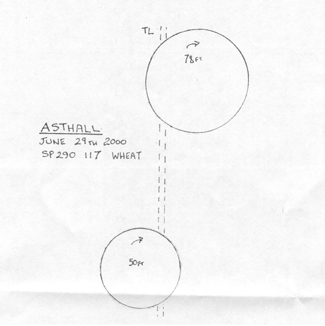
Creation Date: Morning of June 29th
Map Ref:SP 290 118
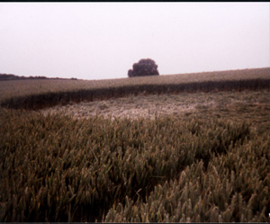
Crop:Green Wheat
Reported by: Steven Mayo
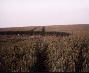
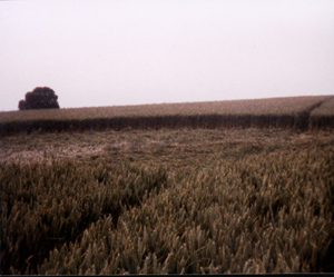
Image(s): Taken after harvesting. (click diagram to enlarge)
Other images of this formation below(click to enlarge)
 |
 |
 |
 |
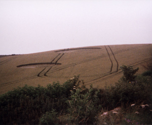
Dimensions/Swirl: Top circle is 78 ft diameter CW swirl.
Bottom Circle is 50ft diameter CW swirl.
Description and Information: See Below
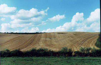
2 "old fashioned" circles a half mile North of Astall villiage situated
on steep hill off minor road to Asthall Leigh.
The lower circle of the two has an attractive spiral centre. and is about 120ft from the top circle in a N-S aligned offset along one of the Tram lines.
The formation lies close to the 1999 Dumbell which was closer to the village and is very pleasant on the eye and can be easily photographed from the road!!!
Taken from the OCCS Newsletter:
Two simple circles arrived in a field of green wheat on a steep slope next to the road leading to Asthall Leigh - diameters 78ft and 50ft CW with a separation of 120ft. One tramline passed through both. The smaller circle had a neat spiralled lay. These were about a mile from the dumb-bell formation of 1999 on the other side of the village and could be seen from the A40 in clear conditions near the Minster Lovell roundabout. SP290 117.